Iain suggested I have a crack at Mt Solitary with all my new gear, and so I did. You can get some idea of the place from this Google map, though it looks more interesting in Google Earth if you can cope with a lack of resolution. There is some great info about the walk at Oz Ultimate that I slightly quibble with in the following.
I caught the train up to Leura to meet my parents, and after a morning tea that consisted of an enormous flowerpot scone and the last coffee I'd have for a couple of days, I got them to give me a lift to the top of the Golden Stairs. These are a steep but pretty easy descent to the Federal Pass, and the flat to the bottom of the Ruined Castle is as easy a walk as one will find in the Blue Mountains. The scramble up to the ridge is mercifully short and quite worthwhile. At some point around here the drizzle set in, continuing on and off for the rest of the day.
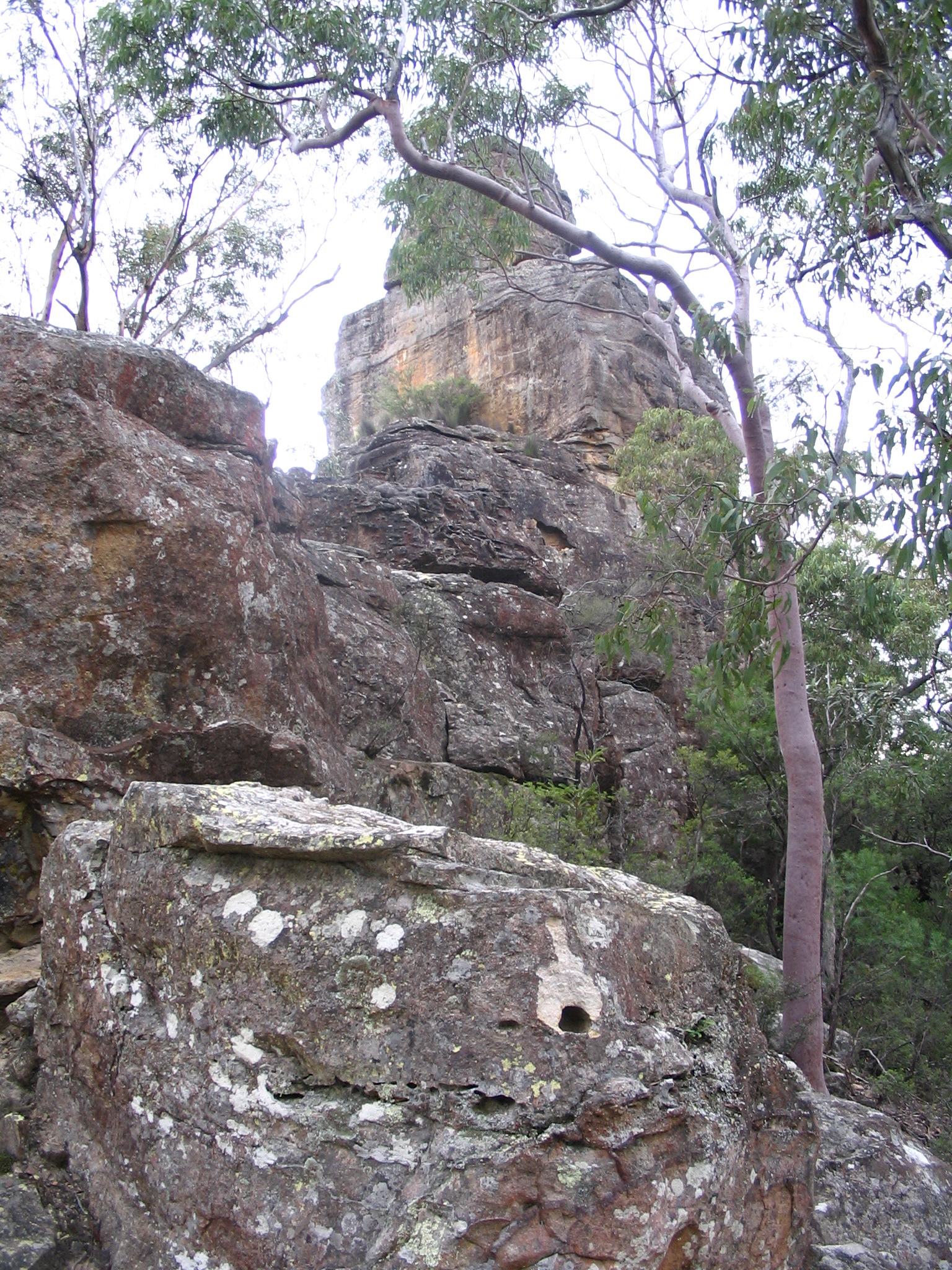
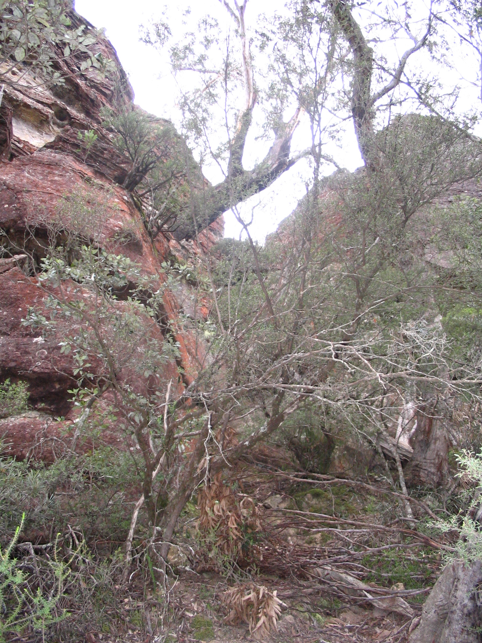
I was all geared up for a physically challenging descent at the eastern end of Mt Solitary, and so I was expecting the western approach (the Koorowall Knife-edge) to be about as hard as all that had come before, i.e. only making me wish I got more cardiovascular exercise more regularly. To my surprise the scrambles went on for quite a while, requiring one to climb about as many metres up as forward. Fortunately I am about as coordinated with the pack as I am without, and that proved adequate, and I'm always ready to take a spell (of work or rest, as need be). By this point all the time estimates people had given me had slipped on by, but as I'd multiplied them all by two anyway I had plenty of sun left.
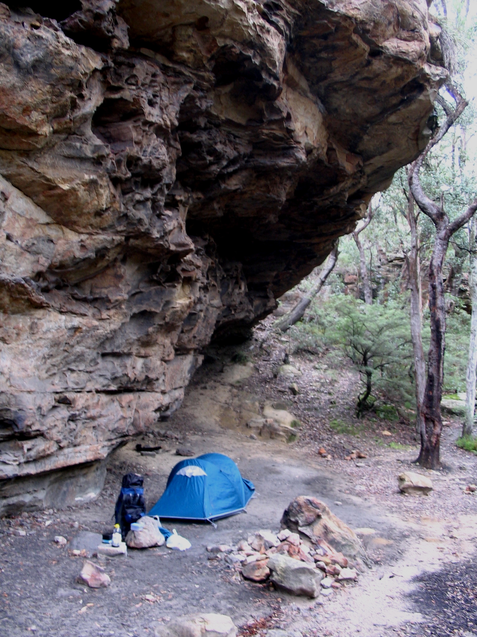
At some point the going-forward track dead-ended on the southern side of the mountain, but a small backtrack, some swearing and a steep hike got me to the first summit mentioned in the cheat-sheet. I pushed on for what felt like an age to Chinaman's Gully and set up under one of the underhangs. (There are truckloads of campsites on this route, complete with stone fireplaces.) Vodafone covered most of the walking trail, and so I spent some time nattering with Dave when the darkness properly kicked in.
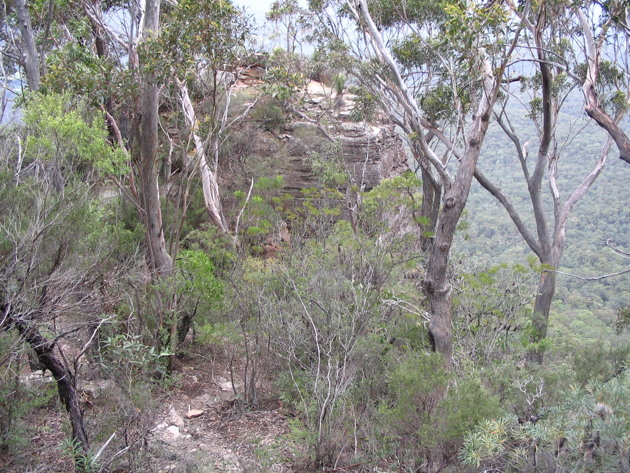
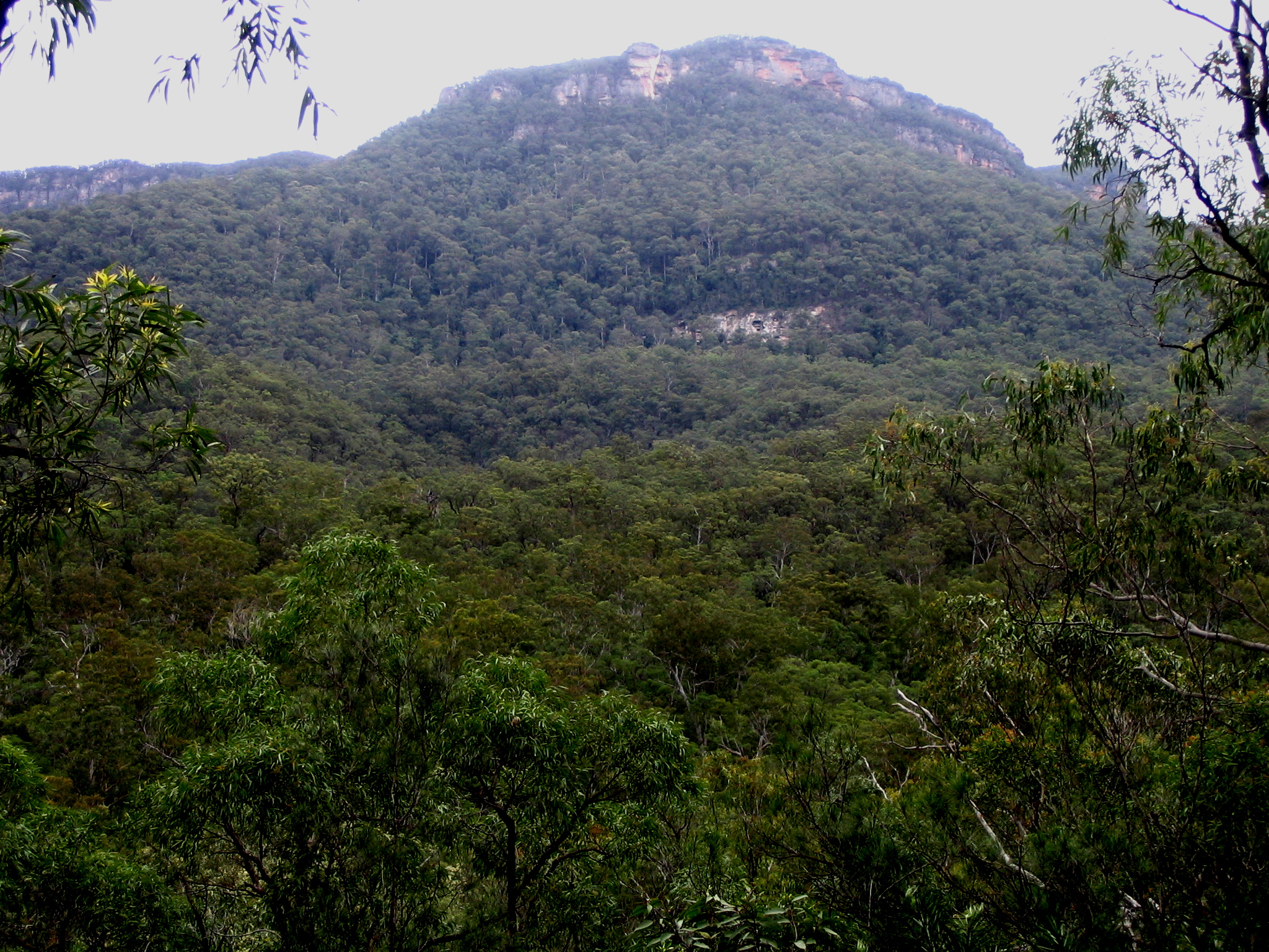
After a very slow start the next morning I had a pleasant walk along the ridge which had some great views back to Katoomba, though I couldn't see much of the Three Sisters as they stand in line, pretty much directly north. Indeed, the haze and rain put paid to any decent photos from this trip. The more adventurous or energetic could probably climb the summit with little trouble, but I was preoccupied by what was in the offing. Continuing to the Col I made my mark in the log book and contemplated the descent to the Kedumba River. Suffice it to say that yep, it's steep, but I reckon it was easier than trying to go back down the western side with a pack on.
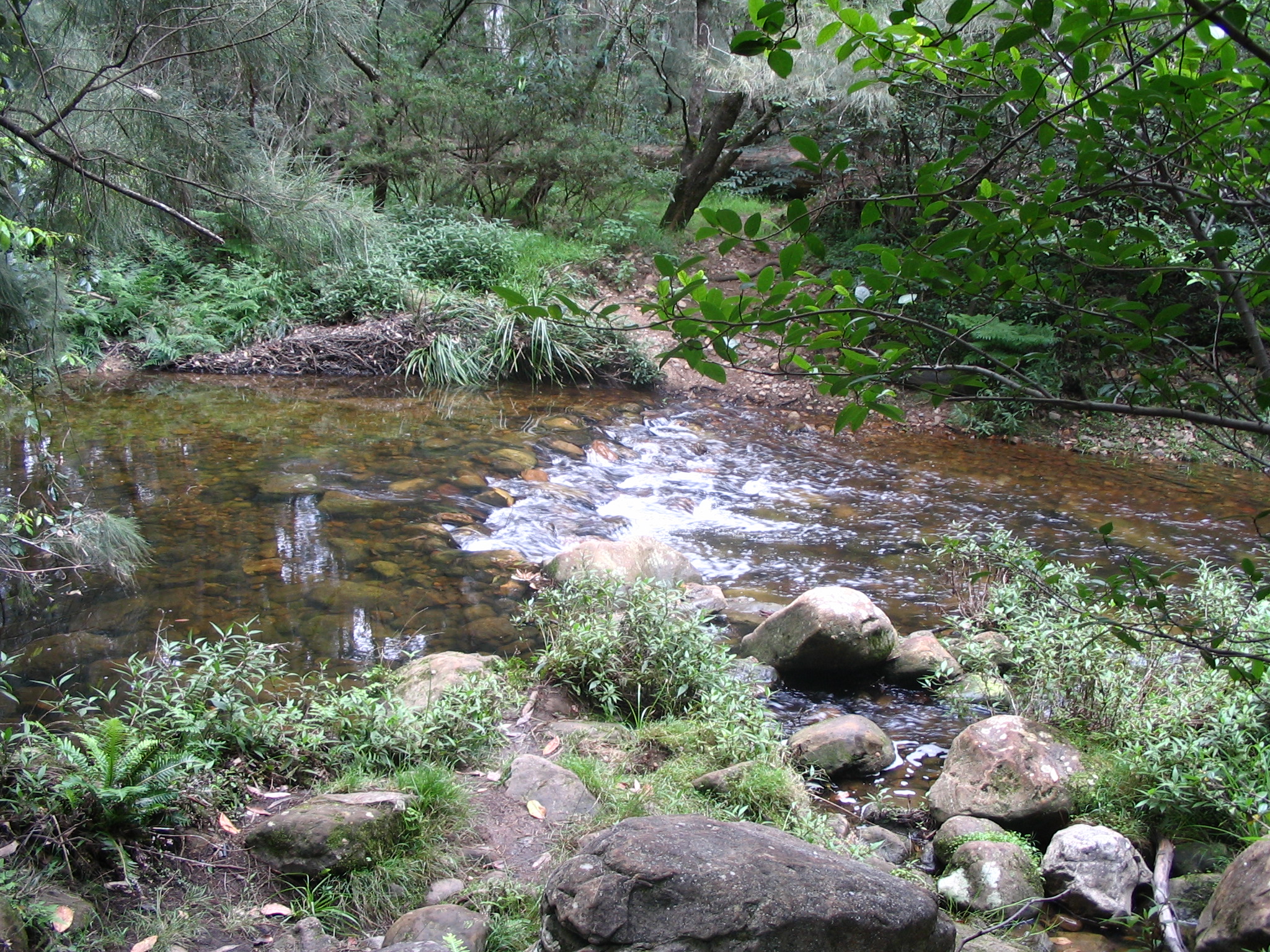
Again the rain started up while I was trudging along the Mt Solitary Walking Trail, abating by the time I got to the Kedumba River crossing. Due to the rain it was flowing quite rapidly, and I took the opportunity to refill my 2.4L Berri Apple and Pear Juice container (thanks, parents) and try out these water purification tablets. The result was some chemical-smelling but perfectly fresh-tasting water that didn't make me crook. Lunch was a Heinz Chunky Butter Chicken, which is just fabulous if you're eating to live. (Dinner had been their Rogan Josh.)
From the other side of the river the trail goes straight to a fire trail that leads to Kedumba Pass. An apple and a quarter-block of dark chocolate got me up the Victoria Pass-steep road in double quick time, arriving at the defunct Queen Victoria Memorial Hospital in something like an hour. I've got to find more things to do while I wait for my heart to slow down. The rain set in again, I was buggered and it seemed like a good idea if civilisation came to me in the form of an amiable cabbie. Had a beer at the pub at Wentworth Falls and was kept awake by the inane chatter of youths on the train back to Central.
In short: navigation was pretty easy, or as one guy remarked: "it's a highway". I had the Jamison Valley topo map recommended by the cheat-sheet; the Katoomba one is not very helpful as it only covers the very start of the trip which is signposted anyway. The views are great, especially on the southern side. The Docs are not the best hiking boots ever. Kathmandu really should make a big-as-can-be water bladder for their GluonTM system.